
Heldburg topographic map
Interactive map
Click on the map to display elevation.
About this map
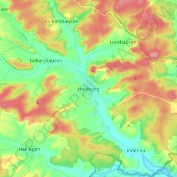
Name: Heldburg topographic map, elevation, terrain.
Average elevation: 328 m
Minimum elevation: 276 m
Maximum elevation: 402 m
In der Nähe der Auffahrt zur Veste Heldburg steht die abgestorbene Schießeiche mit einem Brusthöhenumfang von 7,05 m (2014).