
El Rosal topographic map
Interactive map
Click on the map to display elevation.
About this map
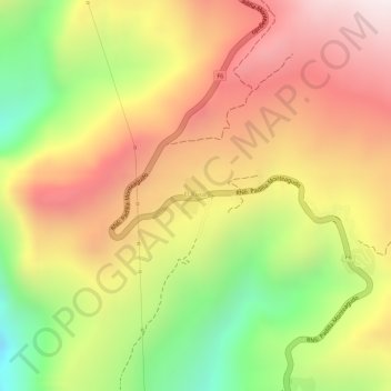
Name: El Rosal topographic map, elevation, terrain.
Location: El Rosal, Provincia Tomina, Chuquisaca, Bolivia (-19.47416 -64.18773 -19.47165 -64.18595)
Average elevation: 2,169 m
Minimum elevation: 1,708 m
Maximum elevation: 2,518 m