
Trinity River topographic map
Click on the map to display elevation.
About this map
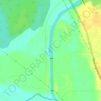
Name: Trinity River topographic map, elevation, terrain.
Location: Trinity River, Tool, Henderson County, Texas, United States (32.21344 -96.15145 32.23979 -96.14145)
Average elevation: 92 m
Minimum elevation: 80 m
Maximum elevation: 109 m