
Thank you for supporting this site ❤️
Make a donation
Make a donation
Lexhy topographic map
Click on the map to display elevation.
Thank you for supporting this site ❤️
Make a donation
Make a donation
About this map
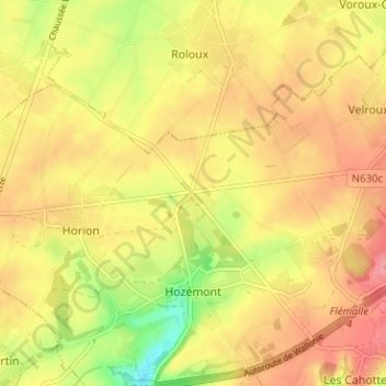
Name: Lexhy topographic map, elevation, terrain.
Location: Lexhy, Hozémont, Grâce-Hollogne, Liège, Wallonie, 4460, Belgique (50.61504 5.37648 50.65504 5.41648)
Average elevation: 168 m
Minimum elevation: 115 m
Maximum elevation: 203 m
Thank you for supporting this site ❤️
Make a donation
Make a donation