
Fort Myers topographic map
Interactive map
Click on the map to display elevation.
About this map
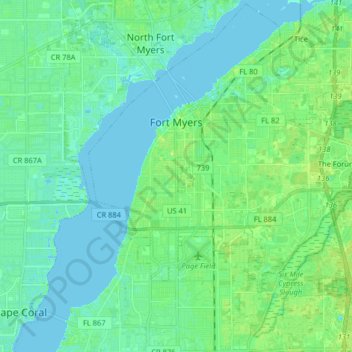
Name: Fort Myers topographic map, elevation, terrain.
Location: Fort Myers, Lee County, Floride, États-Unis d'Amérique (26.54813 -81.91261 26.68918 -81.75114)
Average elevation: 5 m
Minimum elevation: -1 m
Maximum elevation: 13 m