
Thank you for supporting this site ❤️
Make a donation
Make a donation
Undaan topographic map
Click on the map to display elevation.
Thank you for supporting this site ❤️
Make a donation
Make a donation
About this map
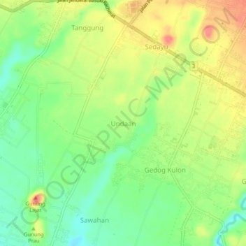
Name: Undaan topographic map, elevation, terrain.
Location: Undaan, Kabupaten Malang, East Java, 65175, Indonesia (-8.21206 112.66334 -8.17206 112.70334)
Average elevation: 370 m
Minimum elevation: 339 m
Maximum elevation: 405 m
Thank you for supporting this site ❤️
Make a donation
Make a donation