
Banjaraha topographic map
Click on the map to display elevation.
About this map
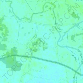
Name: Banjaraha topographic map, elevation, terrain.
Location: Banjaraha, Ishanath, Rautahat, Province #2, Nepal (26.75614 85.23249 26.77808 85.25749)
Average elevation: 74 m
Minimum elevation: 71 m
Maximum elevation: 78 m