
Thank you for supporting this site ❤️
Make a donation
Make a donation
La Foa topographic map
Click on the map to display elevation.
Thank you for supporting this site ❤️
Make a donation
Make a donation
About this map
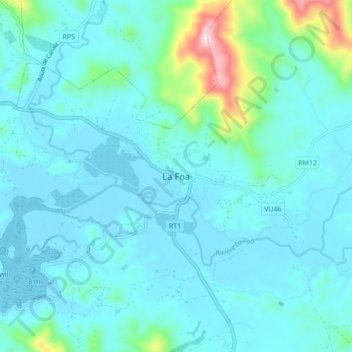
Name: La Foa topographic map, elevation, terrain.
Location: La Foa, Province Sud, Nouvelle-Calédonie, 98880, France (-21.74969 165.78593 -21.66969 165.86593)
Average elevation: 68 m
Minimum elevation: -5 m
Maximum elevation: 527 m
Thank you for supporting this site ❤️
Make a donation
Make a donation