
Kobroor topographic map
Interactive map
Click on the map to display elevation.
About this map
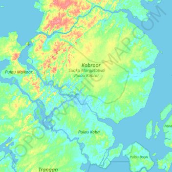
Name: Kobroor topographic map, elevation, terrain.
Location: Kobroor, Aru-Inseln, Molukken, Indonesien (-6.37400 134.27094 -5.91873 134.78216)
Average elevation: 16 m
Minimum elevation: -4 m
Maximum elevation: 79 m