
Selle topographic map
Interactive map
Click on the map to display elevation.
About this map
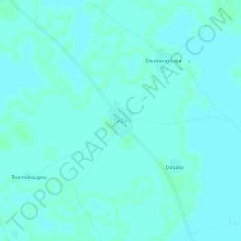
Name: Selle topographic map, elevation, terrain.
Location: Selle, Cercle de Macina, Ségou, Mali (13.67711 -5.23711 13.71711 -5.19711)
Average elevation: 274 m
Minimum elevation: 272 m
Maximum elevation: 276 m