
Thank you for supporting this site ❤️
Make a donation
Make a donation
Highland topographic map
Click on the map to display elevation.
Thank you for supporting this site ❤️
Make a donation
Make a donation
About this map
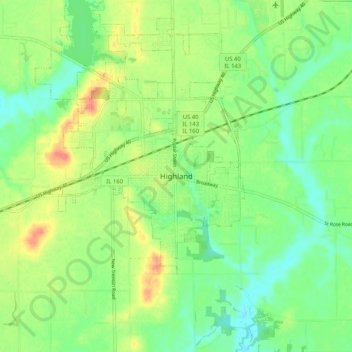
Name: Highland topographic map, elevation, terrain.
Location: Highland, Madison County, Illinois, 62249, United States (38.69949 -89.71120 38.77949 -89.63120)
Average elevation: 161 m
Minimum elevation: 140 m
Maximum elevation: 192 m
Thank you for supporting this site ❤️
Make a donation
Make a donation