
Thank you for supporting this site ❤️
Make a donation
Make a donation
Fort Stewart topographic map
Click on the map to display elevation.
Thank you for supporting this site ❤️
Make a donation
Make a donation
About this map
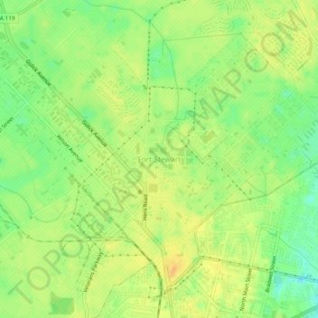
Name: Fort Stewart topographic map, elevation, terrain.
Location: Fort Stewart, Liberty County, Georgia, 31314, United States (31.84943 -81.62777 31.88943 -81.58777)
Average elevation: 26 m
Minimum elevation: 7 m
Maximum elevation: 39 m
Thank you for supporting this site ❤️
Make a donation
Make a donation
Other topographic maps
Click on a map to view its topography, its elevation and its terrain.