
Park County topographic map
Interactive map
Click on the map to display elevation.
About this map
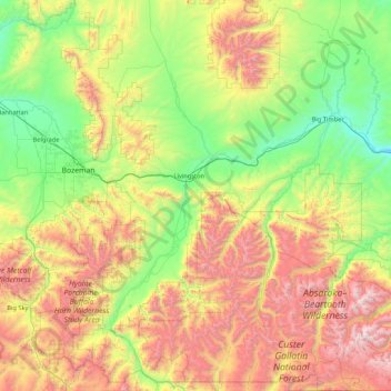
Name: Park County topographic map, elevation, terrain.
Location: Park County, Montana, Vereinigte Staaten von Amerika (44.99217 -111.04673 46.19333 -109.79786)
Average elevation: 2,004 m
Minimum elevation: 1,165 m
Maximum elevation: 3,846 m