
South Lake Tahoe-El Dorado Recreation Area topographic map
Interactive map
Click on the map to display elevation.
About this map
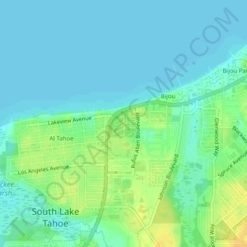
Name: South Lake Tahoe-El Dorado Recreation Area topographic map, elevation, terrain.
Average elevation: 1,905 m
Minimum elevation: 1,897 m
Maximum elevation: 1,923 m