
Sangiang topographic map
Interactive map
Click on the map to display elevation.
About this map
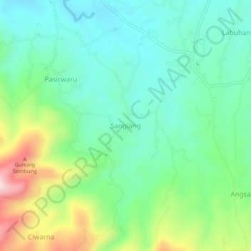
Name: Sangiang topographic map, elevation, terrain.
Location: Sangiang, Serang, Banten, 42114, Indonesia (-6.12441 105.96148 -6.08441 106.00148)
Average elevation: 204 m
Minimum elevation: 74 m
Maximum elevation: 516 m