
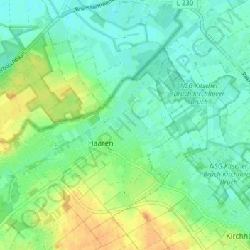
Driesch topographic map
Interactive map
Click on the map to display elevation.
About this map
Name: Driesch topographic map, elevation, terrain.
Average elevation: 40 m
Minimum elevation: 28 m
Maximum elevation: 61 m
Other topographic maps
Click on a map to view its topography, its elevation and its terrain.
Neuhaaren
Deutschland > Nordrhein-Westfalen > Kreis Heinsberg > Haaren
Neuhaaren, Haaren, Waldfeucht, Kreis Heinsberg, Nordrhein-Westfalen, Deutschland
Average elevation: 44 m