
冯营村 topographic map
Interactive map
Click on the map to display elevation.
About this map
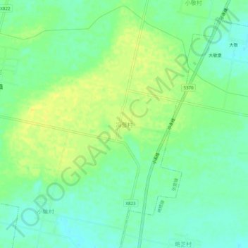
Name: 冯营村 topographic map, elevation, terrain.
Location: 冯营村, 张营镇, 永济市, 运城市, 山西省, 中国 (34.96802 110.38718 35.00802 110.42718)
Average elevation: 401 m
Minimum elevation: 390 m
Maximum elevation: 412 m