
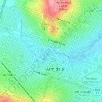
Harris Park topographic map
Interactive map
Click on the map to display elevation.
About this map
Name: Harris Park topographic map, elevation, terrain.
Average elevation: 996 m
Minimum elevation: 968 m
Maximum elevation: 1,070 m
Other topographic maps
Click on a map to view its topography, its elevation and its terrain.
Duval Creek
Australia > New South Wales > Armidale > Duval
Duval Creek, Duval, Armidale, Armidale Regional Council, New South Wales, 2350, Australia
Average elevation: 999 m