
Thank you for supporting this site ❤️
Make a donation
Make a donation
De Leon Springs topographic map
Click on the map to display elevation.
Thank you for supporting this site ❤️
Make a donation
Make a donation
About this map
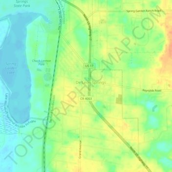
Name: De Leon Springs topographic map, elevation, terrain.
Location: De Leon Springs, Volusia County, Florida, United States (29.09723 -81.36407 29.13965 -81.33587)
Average elevation: 17 m
Minimum elevation: -1 m
Maximum elevation: 36 m
Thank you for supporting this site ❤️
Make a donation
Make a donation