
Clay County topographic map
Interactive map
Click on the map to display elevation.
About this map
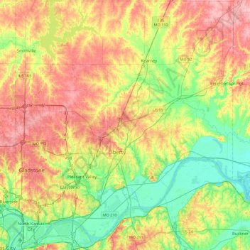
Name: Clay County topographic map, elevation, terrain.
Location: Clay County, Missouri, United States (39.11002 -94.60807 39.45642 -94.21103)
Average elevation: 266 m
Minimum elevation: 212 m
Maximum elevation: 333 m