
东塔岭 topographic map
Interactive map
Click on the map to display elevation.
About this map
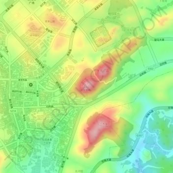
Name: 东塔岭 topographic map, elevation, terrain.
Location: 东塔岭, 鹿峰街道, 桂阳县, 郴州市, 湖南省, 中国 (25.74122 112.74003 25.74132 112.74013)
Average elevation: 306 m
Minimum elevation: 224 m
Maximum elevation: 396 m
Other topographic maps
Click on a map to view its topography, its elevation and its terrain.