
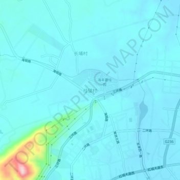
桂望村 topographic map
Interactive map
Click on the map to display elevation.
About this map
Name: 桂望村 topographic map, elevation, terrain.
Location: 桂望村, 海丰县, 汕尾市, 广东省, 中国 (22.97349 115.30284 23.01349 115.34284)
Average elevation: 28 m
Minimum elevation: 3 m
Maximum elevation: 256 m
Other topographic maps
Click on a map to view its topography, its elevation and its terrain.