
Thank you for supporting this site ❤️
Make a donation
Make a donation
Pian del Ponte topographic map
Click on the map to display elevation.
Thank you for supporting this site ❤️
Make a donation
Make a donation
About this map
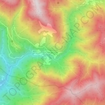
Name: Pian del Ponte topographic map, elevation, terrain.
Location: Pian del Ponte, Bibbiena, Arezzo, Toscana, Italia (43.75162 11.84039 43.79162 11.88039)
Average elevation: 873 m
Minimum elevation: 469 m
Maximum elevation: 1,223 m
Thank you for supporting this site ❤️
Make a donation
Make a donation