
Borgisdorf topographic map
Interactive map
Click on the map to display elevation.
About this map
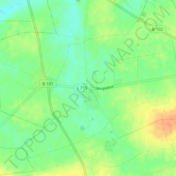
Name: Borgisdorf topographic map, elevation, terrain.
Average elevation: 96 m
Minimum elevation: 82 m
Maximum elevation: 115 m
Other topographic maps
Click on a map to view its topography, its elevation and its terrain.
Schlenzer
Deutschland > Brandenburg > Teltow-Fläming > Niederer Fläming
Schlenzer, Niederer Fläming, Dahme/Mark, Teltow-Fläming, Brandenburg, 14913, Deutschland
Average elevation: 110 m