
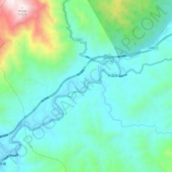
昌化江 topographic map
Interactive map
Click on the map to display elevation.
About this map
Name: 昌化江 topographic map, elevation, terrain.
Location: 昌化江, 琼中县, 琼中黎族苗族自治县, 海南省, 中国 (18.94732 109.53194 19.02894 109.64362)
Average elevation: 519 m
Minimum elevation: 207 m
Maximum elevation: 1,785 m
Other topographic maps
Click on a map to view its topography, its elevation and its terrain.