
Castelleone topographic map
Interactive map
Click on the map to display elevation.
About this map
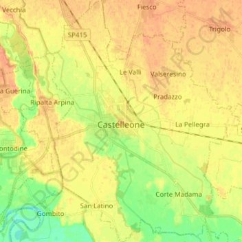
Name: Castelleone topographic map, elevation, terrain.
Location: Castelleone, Cremona, Lombardia, Itália (45.25105 9.72857 45.33866 9.82550)
Average elevation: 64 m
Minimum elevation: 43 m
Maximum elevation: 77 m
Other topographic maps
Click on a map to view its topography, its elevation and its terrain.