
Thank you for supporting this site ❤️
Make a donation
Make a donation
Mills River topographic map
Click on the map to display elevation.
Thank you for supporting this site ❤️
Make a donation
Make a donation
About this map
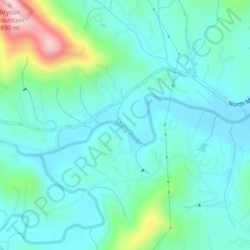
Name: Mills River topographic map, elevation, terrain.
Location: Mills River, Henderson County, North Carolina, United States (35.39246 -82.60987 35.39908 -82.58638)
Average elevation: 686 m
Minimum elevation: 636 m
Maximum elevation: 877 m
Thank you for supporting this site ❤️
Make a donation
Make a donation