
Entre Rios topographic map
Interactive map
Click on the map to display elevation.
About this map
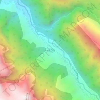
Name: Entre Rios topographic map, elevation, terrain.
Location: Entre Rios, Chapare, Cochabamba, Bolivia (-16.98922 -66.19859 -16.94922 -66.15859)
Average elevation: 2,878 m
Minimum elevation: 2,278 m
Maximum elevation: 3,816 m