
Camp John McLean Memorial Park topographic map
Interactive map
Click on the map to display elevation.
About this map
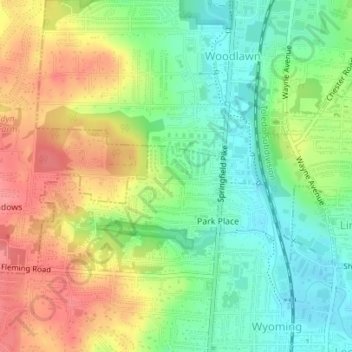
Name: Camp John McLean Memorial Park topographic map, elevation, terrain.
Average elevation: 207 m
Minimum elevation: 171 m
Maximum elevation: 249 m