
塔脚 topographic map
Interactive map
Click on the map to display elevation.
About this map
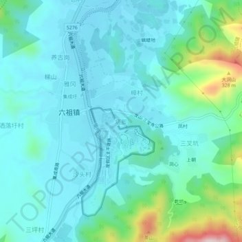
Name: 塔脚 topographic map, elevation, terrain.
Location: 塔脚, 六祖镇, 新兴县, 云浮市, 广东省, 527400, 中国 (22.57539 112.20299 22.61539 112.24299)
Average elevation: 108 m
Minimum elevation: 38 m
Maximum elevation: 425 m
Other topographic maps
Click on a map to view its topography, its elevation and its terrain.