
曹坊镇 topographic map
Interactive map
Click on the map to display elevation.
About this map
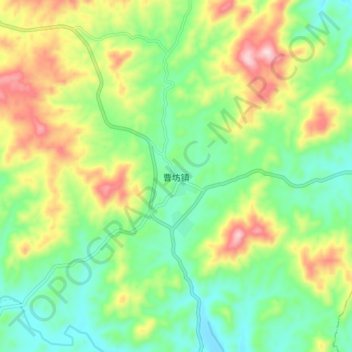
Name: 曹坊镇 topographic map, elevation, terrain.
Location: 曹坊镇, 宁化县, 三明市, 福建省, 中国 (26.02353 116.57570 26.10353 116.65570)
Average elevation: 577 m
Minimum elevation: 452 m
Maximum elevation: 794 m
Other topographic maps
Click on a map to view its topography, its elevation and its terrain.