
Thank you for supporting this site ❤️
Make a donation
Make a donation
Wajima topographic map
Click on the map to display elevation.
Thank you for supporting this site ❤️
Make a donation
Make a donation
About this map
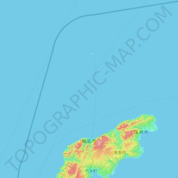
Name: Wajima topographic map, elevation, terrain.
Location: Wajima, Ishikawa Prefecture, Chubu Region, Japan (37.19051 136.45696 38.13496 137.55469)
Average elevation: 15 m
Minimum elevation: 0 m
Maximum elevation: 541 m
Thank you for supporting this site ❤️
Make a donation
Make a donation