
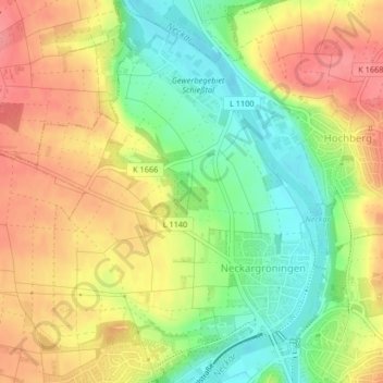
Neckargrönigen topographic map
Interactive map
Click on the map to display elevation.
About this map
Name: Neckargrönigen topographic map, elevation, terrain.
Average elevation: 246 m
Minimum elevation: 202 m
Maximum elevation: 286 m
Other topographic maps
Click on a map to view its topography, its elevation and its terrain.
Hochberg
Deutschland > Baden-Württemberg > Remseck am Neckar
Hochberg, Remseck am Neckar, Landkreis Ludwigsburg, Regierungsbezirk Stuttgart, Baden-Württemberg, Deutschland
Average elevation: 250 m