
Burhou topographic map
Interactive map
Click on the map to display elevation.
About this map
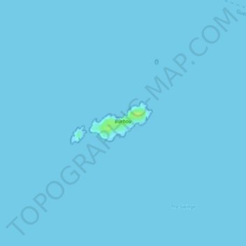
Name: Burhou topographic map, elevation, terrain.
Location: Burhou, Alderney, Guernsey (49.72880 -2.25764 49.73321 -2.24690)
Average elevation: 0 m
Minimum elevation: -1 m
Maximum elevation: 11 m
Other topographic maps
Click on a map to view its topography, its elevation and its terrain.
English Channel
English Channel, Albert Mews, St Anne, Alderney, Guernsey
Average elevation: 55 m
Alderney
Guernsey > Alderney > Saint Anne
Alderney, Saint Anne, Alderney, GY9 3XT, Guernsey
Average elevation: 13 m
Raz Island
Guernsey > Alderney > St Anne > Longis
Raz Island, Longis, St Anne, Alderney, Guernsey
Average elevation: 7 m