
Spannum topographic map
Interactive map
Click on the map to display elevation.
About this map
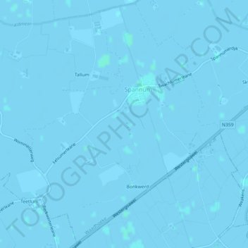
Name: Spannum topographic map, elevation, terrain.
Location: Spannum, Waadhoeke, Friesland, Nederland (53.12596 5.58667 53.15249 5.62222)
Average elevation: 0 m
Minimum elevation: -3 m
Maximum elevation: 2 m
Other topographic maps
Click on a map to view its topography, its elevation and its terrain.