
Teton County topographic map
Interactive map
Click on the map to display elevation.
About this map
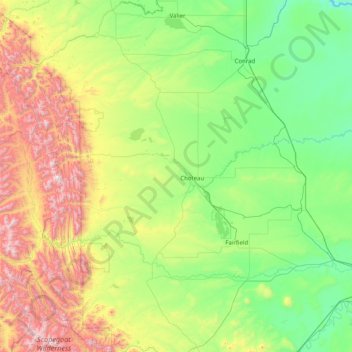
Name: Teton County topographic map, elevation, terrain.
Location: Teton County, Montana, United States (47.50053 -113.01481 48.13309 -111.40884)
Average elevation: 1,368 m
Minimum elevation: 909 m
Maximum elevation: 2,757 m