
Drake topographic map
Interactive map
Click on the map to display elevation.
About this map
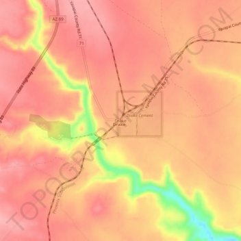
Name: Drake topographic map, elevation, terrain.
Location: Drake, Yavapai County, Arizona, United States (34.96141 -112.39628 35.00141 -112.35628)
Average elevation: 1,417 m
Minimum elevation: 1,328 m
Maximum elevation: 1,446 m