
Spy topographic map
Interactive map
Click on the map to display elevation.
About this map
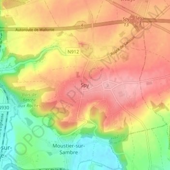
Name: Spy topographic map, elevation, terrain.
Location: Spy, Namen, Wallonië, 5190, België (50.46117 4.68270 50.50117 4.72270)
Average elevation: 146 m
Minimum elevation: 84 m
Maximum elevation: 195 m