
Thank you for supporting this site ❤️
Make a donation
Make a donation
Bellwood topographic map
Click on the map to display elevation.
Thank you for supporting this site ❤️
Make a donation
Make a donation
About this map
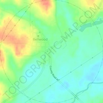
Name: Bellwood topographic map, elevation, terrain.
Location: Bellwood, Geneva County, Alabama, 36313, United States (31.15785 -85.80963 31.18681 -85.77586)
Average elevation: 44 m
Minimum elevation: 25 m
Maximum elevation: 78 m
Thank you for supporting this site ❤️
Make a donation
Make a donation