
白庙子 topographic map
Interactive map
Click on the map to display elevation.
About this map
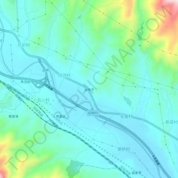
Name: 白庙子 topographic map, elevation, terrain.
Location: 白庙子, 汉阴县, 陕西省, 725100, 中国 (32.84689 108.51505 32.88689 108.55505)
Average elevation: 402 m
Minimum elevation: 331 m
Maximum elevation: 704 m
Other topographic maps
Click on a map to view its topography, its elevation and its terrain.