
Humada topographic map
Interactive map
Click on the map to display elevation.
About this map
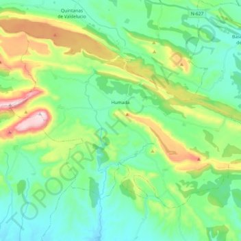
Name: Humada topographic map, elevation, terrain.
Location: Humada, Sedano, Castilla y León, España (42.60911 -4.16681 42.70670 -3.98484)
Average elevation: 1,006 m
Minimum elevation: 872 m
Maximum elevation: 1,365 m