
Thank you for supporting this site ❤️
Make a donation
Make a donation
Alqueidão topographic map
Click on the map to display elevation.
Thank you for supporting this site ❤️
Make a donation
Make a donation
About this map
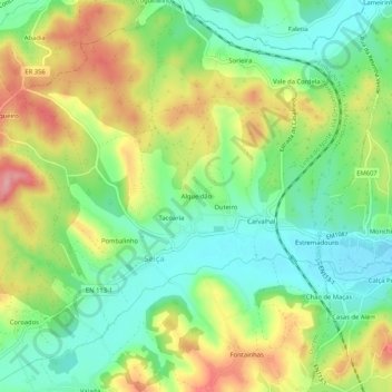
Name: Alqueidão topographic map, elevation, terrain.
Location: Alqueidão, Seiça, Ourém, Santarém, 2435-547, Portugal (39.66130 -8.53857 39.70130 -8.49857)
Average elevation: 149 m
Minimum elevation: 99 m
Maximum elevation: 220 m
Thank you for supporting this site ❤️
Make a donation
Make a donation