
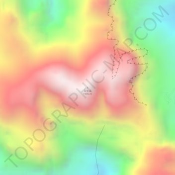
圣堂山 topographic map
Interactive map
Click on the map to display elevation.
About this map
Name: 圣堂山 topographic map, elevation, terrain.
Location: 圣堂山, 来宾市, 广西壮族自治区, 中国 (23.97535 110.09910 23.97545 110.09920)
Average elevation: 1,462 m
Minimum elevation: 895 m
Maximum elevation: 1,913 m
Other topographic maps
Click on a map to view its topography, its elevation and its terrain.