
Kleiner Feldberg topographic map
Interactive map
Click on the map to display elevation.
About this map
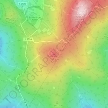
Name: Kleiner Feldberg topographic map, elevation, terrain.
Average elevation: 693 m
Minimum elevation: 540 m
Maximum elevation: 884 m
Other topographic maps
Click on a map to view its topography, its elevation and its terrain.
Glashütten
Deutschland > Hessen > Hochtaunuskreis > Glashütten
Glashütten, Hochtaunuskreis, Hessen, 61479, Deutschland
Average elevation: 480 m