
Thank you for supporting this site ❤️
Make a donation
Make a donation
Friendswood topographic map
Click on the map to display elevation.
Thank you for supporting this site ❤️
Make a donation
Make a donation
About this map
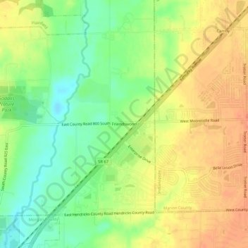
Name: Friendswood topographic map, elevation, terrain.
Location: Friendswood, Hendricks County, Indiana, 46113, United States (39.62643 -86.35277 39.66643 -86.31277)
Average elevation: 226 m
Minimum elevation: 202 m
Maximum elevation: 247 m
Thank you for supporting this site ❤️
Make a donation
Make a donation
Other topographic maps
Click on a map to view its topography, its elevation and its terrain.
Thank you for supporting this site ❤️
Make a donation
Make a donation
Thank you for supporting this site ❤️
Make a donation
Make a donation