
本里村 topographic map
Interactive map
Click on the map to display elevation.
About this map
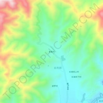
Name: 本里村 topographic map, elevation, terrain.
Location: 本里村, 米甸镇, 祥云县, 大理白族自治州, 云南省, 中国 (25.70638 100.74991 25.74638 100.78991)
Average elevation: 2,133 m
Minimum elevation: 1,921 m
Maximum elevation: 2,530 m
Other topographic maps
Click on a map to view its topography, its elevation and its terrain.