
店头镇 topographic map
Interactive map
Click on the map to display elevation.
About this map
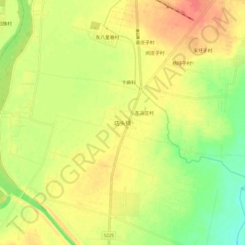
Name: 店头镇 topographic map, elevation, terrain.
Location: 店头镇, 临沂市, 山东省, 中国 (34.78720 118.55345 34.86720 118.63345)
Average elevation: 55 m
Minimum elevation: 25 m
Maximum elevation: 80 m
Other topographic maps
Click on a map to view its topography, its elevation and its terrain.