
Thank you for supporting this site ❤️
Make a donation
Make a donation
Algeruz topographic map
Click on the map to display elevation.
Thank you for supporting this site ❤️
Make a donation
Make a donation
About this map
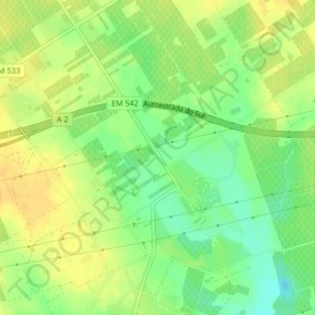
Name: Algeruz topographic map, elevation, terrain.
Location: Algeruz, Palmela, Setúbal, 2950-051, Portugal (38.57255 -8.84229 38.59255 -8.82229)
Average elevation: 23 m
Minimum elevation: 7 m
Maximum elevation: 35 m
Thank you for supporting this site ❤️
Make a donation
Make a donation
Other topographic maps
Click on a map to view its topography, its elevation and its terrain.