
Thank you for supporting this site ❤️
Make a donation
Make a donation
Vechelde topographic map
Click on the map to display elevation.
Thank you for supporting this site ❤️
Make a donation
Make a donation
About this map
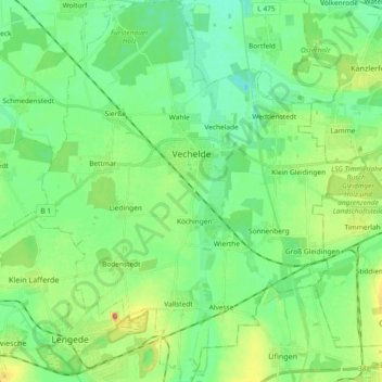
Name: Vechelde topographic map, elevation, terrain.
Location: Vechelde, Landkreis Peine, Lower Saxony, 38159, Germany (52.19278 10.29232 52.30638 10.45430)
Average elevation: 81 m
Minimum elevation: 59 m
Maximum elevation: 131 m
Thank you for supporting this site ❤️
Make a donation
Make a donation