
Soor topographic map
Interactive map
Click on the map to display elevation.
About this map
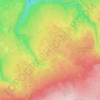
Name: Soor topographic map, elevation, terrain.
Location: Soor, Liège, Wallonia, 4700, Belgium (50.54007 6.04318 50.59936 6.10620)
Average elevation: 481 m
Minimum elevation: 309 m
Maximum elevation: 615 m